


Pitambar Sharma
A book on Nepal-India border disputes, particularly one devoted to Mahakali and Susta, needs no explanation. Both the disputes date back to 1816 when the Sugauli Treaty that defines Nepal’s borders with India was concluded. Time and again the disputes have come under public attention. Popular press in Nepal has covered the issues as and when events of political or strategic significance unfold or when there are clashes and altercations in specific areas.
At the political and technical levels mechanisms for demarcating the border and sorting out issues in light of their historic evolution have been created, but for the most part these have largely been overshadowed by inaction at the political levels. India’s intransigence has made it impossible to even take up the matter for discussion, much less the search for a resolution. The Indian attitudes towards the disputes remaining as they are, it is quite likely that the disputes that have simmered on for the last two centuries could continue on for the foreseeable future.
In the last few decades some books and a number of articles, mainly in Nepali, have appeared in the popular press on the border disputes in Mahakali and Susta. The issue of the origin of the Mahakali River in the north-western border was publicly raised during the ratification of the Mahakali Treaty in 1996. Since then, a few professional papers have appeared in the English language from both within and outside Nepal by Nepali scholars and a few by outsiders. The publication of the new political map of India by the Survey of India in early November 2019, which incorporated areas east of the Kali River, including Kalapani, as Indian territory brought renewed public, and political, attention to the Mahakali dispute.
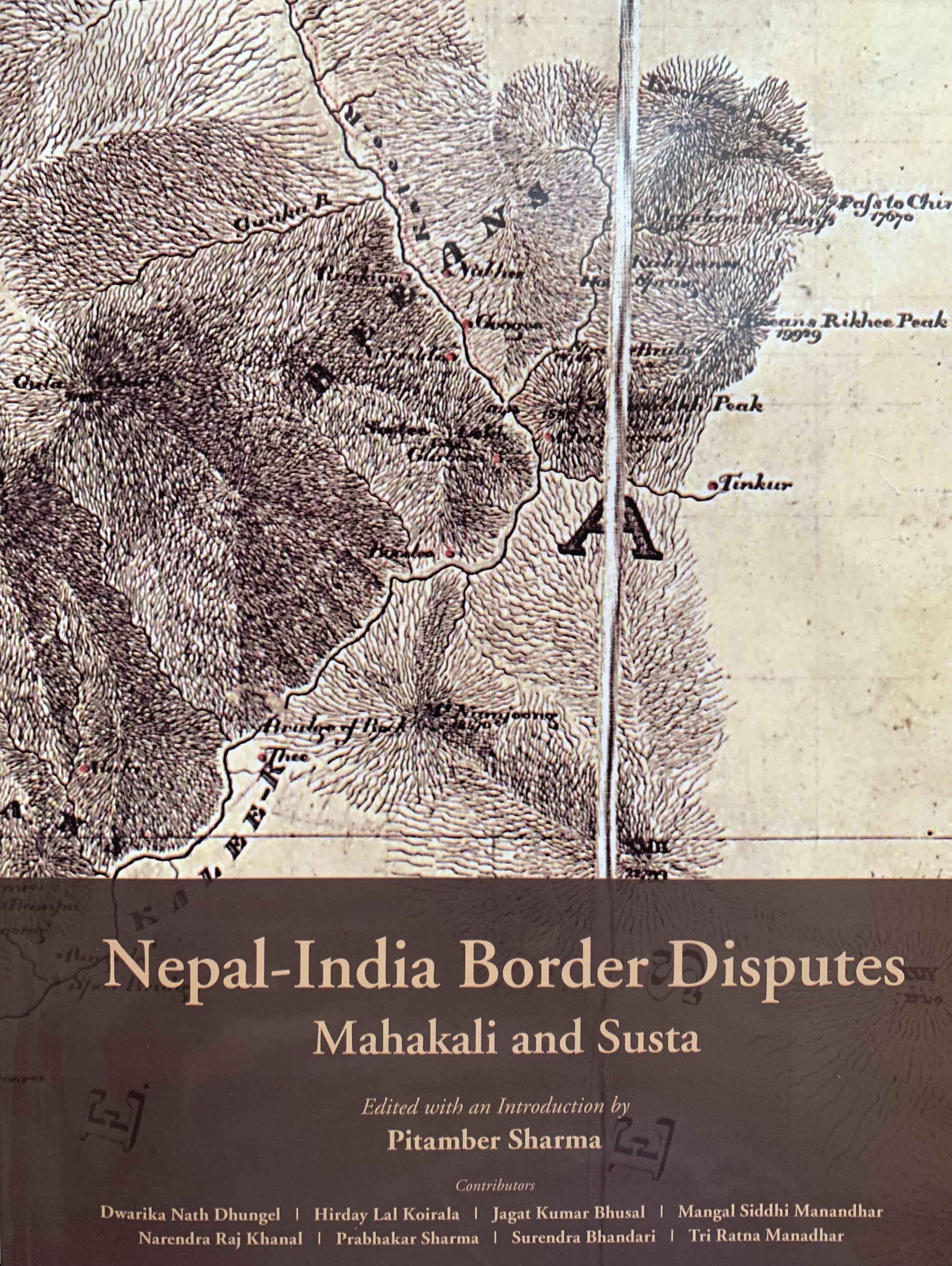
Book Title: Nepal-India Border Disputes: Mahakali and Susta
Edited and Introduction: Pitambar Sharma
Publisher: Mandala Book Point
Pages: 192
Price:
ISBN: 978-99933-42-59-5
It was at this juncture that the late Swanam Sathi (aka Sashi Sherchan) organized a meeting of concerned citizens to form a movement to save the borders named Seema Bachau Abhiyan. Coordinated by Swanam Sathi, it brought together citizens of standing from various walks of life to raise awareness regarding the border problems and exert pressure on the Government of Nepal to seriously take up the matter with the Government of India. Under the auspices of the Seema Bachau Abhiyan, the initial task identified was to prepare a map of Nepal based on the Sugauli Treaty and related supplementary treaties to educate the public and at the same time spur the Nepal Government to action.
Accordingly, a Map Committee was constituted under the chairmanship of senior journalist Bhairav Risal. It included former administrator Dwarika Nath Dhungel, former diplomat Hiranya Lal Shrestha, former heads of the Department of Survey of the Government of Nepal Punya Prasad Oli and Buddhi Narayan Shrestha (both in absentia), hydrologist Jagat Kumar Bhusal, geographers Narendra Raj Khanal, Sher Bahadur Gurung and Komal Chandra Baral, and social activists Swanam Sathi, Shyam Shrestha (in absentia), and Rabindra Kumar Shrestha. The task of constructing the map using the latest technology was entrusted to a team including Prof. Narendra Raj Khanal, Asst. Prof. Sher Bahadur Gurung, both affiliated with he Central Department of Geography, Tribhuvan University and Nepal Geographical Society, and geographer Komal Chandra Baral and hydrologist Jagat Kumar Bhusal.
The new map prepared by the team was peer reviewed and the final version was formally launched at a press meet at the Reporter’s Club, Kathmandu on November 24, 2019. Copies of the map were formally handed over to Deputy Prime Minister, Minister of Home Affairs, Minister for Foreign Affairs, Minister for Land Reform, Management and Poverty Alleviation, Minister of Education, and Chairperson of the Parliamentary Committee on Agriculture, Cooperatives and Natural Resources of the House of Representatives. The objective was to proactively facilitate the government in coming up with a new political map of Nepal through
official channels.
The Government of Nepal formally approved the publication of the new Political and Administrative Map of Nepal by the Survey Department including all the territories lying to the east of the Mahakali River on May 18, 2020. In June the House of Representatives unanimously endorsed the second amendment to the Constitution of Nepal to update the country’s new political map in the national emblem.
In the course of the preparation of the new map there was a realization that the publication of the map alone was not enough and there was a need to examine the Nepal-India border disputes from various perspectives for a more nuanced appreciation of the issues. It was during the course of these discussions that the idea of this book – a collection of professional papers analysing the border problems in Mahakali and Susta from various perspectives – emerged.
While asymmetry in size and power provides India with the benefits of inaction, the only recourse for Nepal is to examine the evidence from as many perspectives as possible and make it accessible to a wider audience both within Nepal and outside.
A number of scholars from different perspectives were identified and requested to contribute to the book on a voluntary basis. The task of substantive editing of the book was entrusted to the editor of this volume. The papers were revised by the authors on the basis of comments received from the editor as well as the team of authors. Face to face meetings with the authors was not possible because of the Covid-19 pandemic. This resulted in some delay in the completion of the book than was initially planned.
This book therefore is a cooperative effort in shedding light on an issue that has been at the forefront of Nepal-India relations for the better part of two centuries.
Acknowledgements are due to the late Swanam Sathi, and Bhairav Risal for their encouragement and to members of the map construction team. Thanks are mainly due to the scholars who selflessly contributed to this book. The book would not have been possible without their enthusiastic support.
Dwarika Nath Dhungel deserves special appreciation for the initial idea of the book and his persistent follow-up on developments including the first round of copy editing and publication arrangements with Mandala Book Point. Likewise, Madhab Lal Maharjan, head of the Mandala Book Point, deserves thanks and gratitude for readily agreeing to publish this book and be part of our effort to bring an issue of national importance to the attention of a wider public.
Adapted from the Preface from Pitambar Sharma.Mr Sharma is former Professor of Geography, Tribhuvan University, and former Vice-Chairman, National Planning Commission.
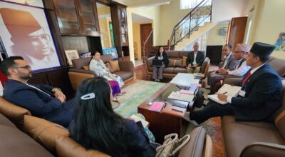
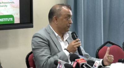
The book was recently published and released in Kathmandu.